29 October 2023
![]() 7 mins Read
7 mins Read

Brisbane is full of incredible restaurants, a bustling cafe scene and ample things to do, but sometimes a break from the chaos of city life is needed and your body craves an escape to nature. And what better way to do that than hiking in and around Brisbane?
Well, put those walking shoes on because we’ve found all the best hikes near Brisbane for any skill level.
Easy-moderate | Moderate | Moderate-hard
Friends, lovers, families, dogs – everyone in Brissie knows this iconic peak for its cracking views of the city.
Mt Coot-tha Lookout has sweeping views of Brisbane City, Moreton Bay, and around to the Tweed Volcano, Main Range and Mount Barney and Flinders Peak.
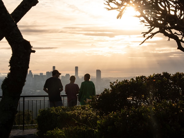
With views that go on for days, this walk is well worth it. (Image: Tourism and Events Queensland)
This track leads from the JC Slaughter Falls picnic area to the lookout and is just 15 minutes’ drive from the CBD.
There are plenty of other tracks at Mt Coot-tha too, see them all here.
Terrain: Hilly
Distance: 1.9 kilometres one way
What to bring: Water, camera, sun protection
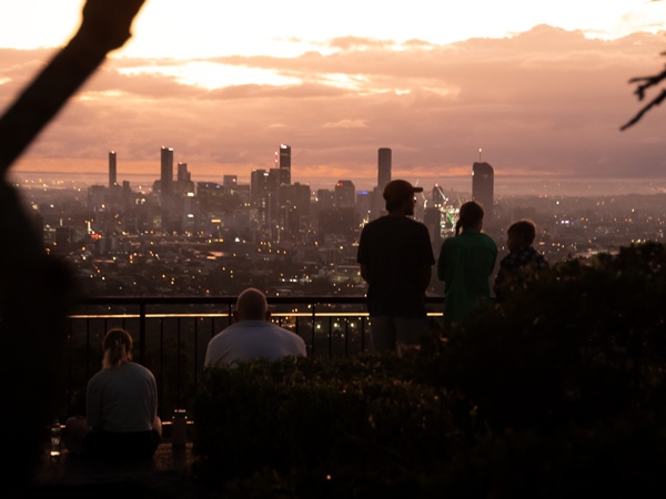
There is a range of different hikes to choose from. (Image: Tourism and Events Queensland)
One of the must-dos on North Stradbroke Island, the North Gorge Walk follows the headland of Point Lookout all while showing off breathtaking ocean views.
If you do it between June and November you might even get to see migrating humpback whales, as the Gorge Walk is the best vantage point.
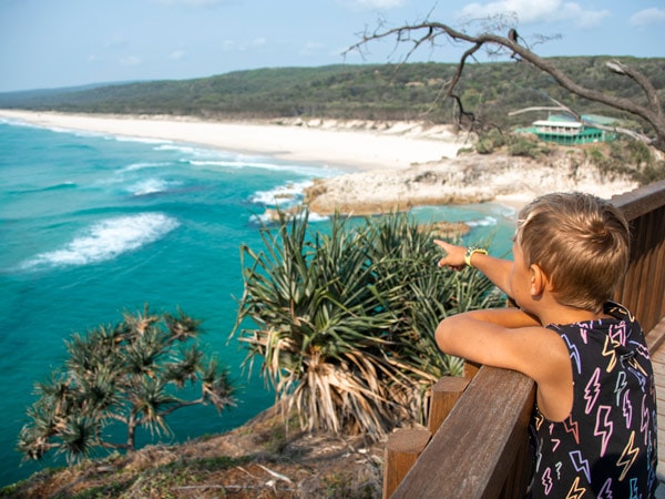
Spot whales migrating from the North Gorge Walk. (Image: Tourism and Events Queensland)
Terrain: Boardwalk
Distance: 1.2 kilometres
What to bring: Water, camera, sun protection
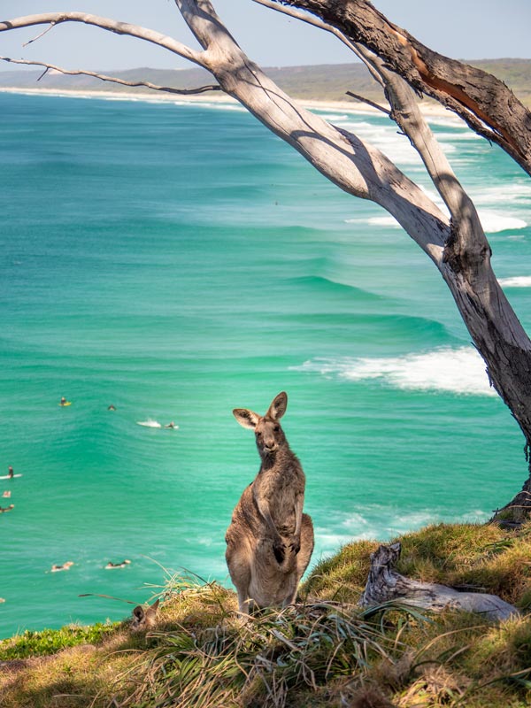
You’ll also spot some wildlife on land. (Image: Tourism and Events Queensland)
The Natural Bridge circuit walk is a sealed circuit track that takes you through the forest, across Cave Creek and into the arched cave to witness the waterfall plunging from above.
Not only that, but at night you’ll be blessed with the tiny green lights of thousands of nocturnal glow worms!
Glow worms are visible year-round; however, their display is significantly reduced during the winter months.
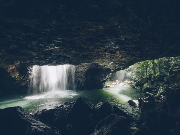
Glow worms and a waterfall? Yes, please. (Image: Tourism and Events Queensland)
Be careful walking at night and make sure you bring sufficient lighting. There are also some restricted access areas to keep in mind when planning your hike.
Terrain: Asphalt track, but due to long sets of stairs, it is easier to walk this track in a clockwise direction.
Distance: 1 kilometre
What to bring: Mozzie repellent, drinking water, torch
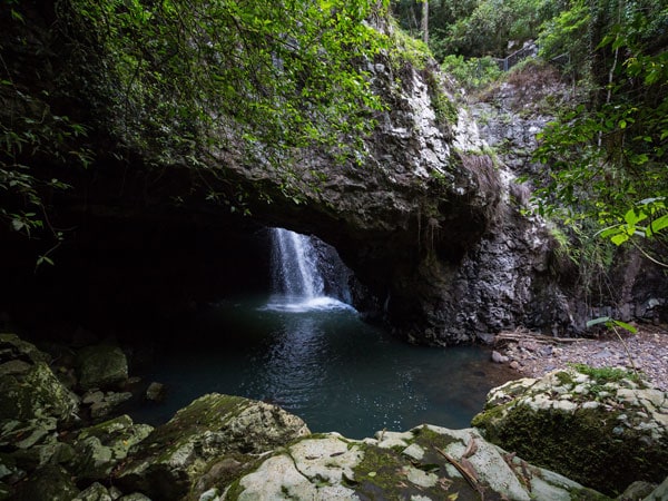
This short hike is best done at night. (Image: Set In Stone Media)
Walking tracks are provided in six sections of Tamborine National Park. Most of them are short and relatively easy, although some have short, steep sections.
The hiking trails range from grade 1 to grade 4 so you can choose the track you want to take based on your fitness capabilities.
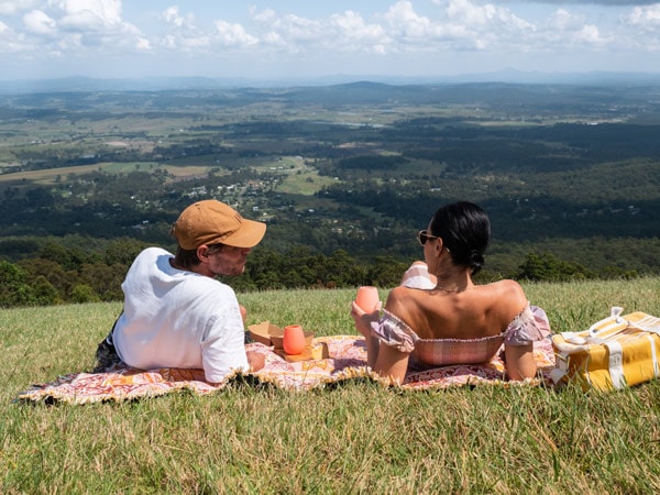
There are six ways to get to the top, depending on your hiking capabilities. (Image: Tourism and Events Queensland)
Terrain: Some steep sections
Distance: Ranging from 400 metres to 4.8 kilometres
What to bring: Water, sun protection
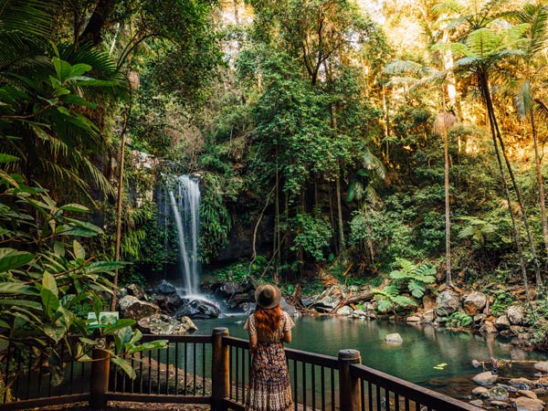
Stop at the beautiful Curtis Falls on your way. (Image: Tourism and Events Queensland)
Bring your swimmers for this next hike! You’ll have to swim through two freshwater gorges as part of this trail.
You’ll come across rock pools along the journey with the longest measuring about 15 to 20 metres.
But the highlight of the Northbrook Gorges hike is the large, almost crystal clear, rock swimming pool, complete with a short waterfall, found in the second gorge.
The majority of the hike will take you over rocks, boulders, and rough and slippery terrain, making it best suited to fit and experienced hikers.
Terrain: Wet!
Distance: 6 kilometres
What to bring: Swimmers, drinking water, sun protection
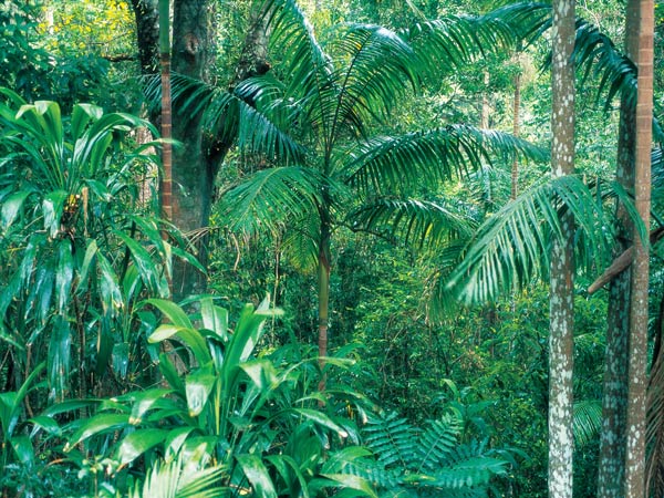
This hike is suited for more experienced hikers. (Image: Tourism and Events Queensland)
Located on the Sunshine Coast Hinterland, the Kondalilla Falls circuit is a stunning hike surrounded by lush rainforest.
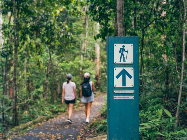
This hike is enveloped in the rainforest. (Image: Tourism and Events Queensland)
You’ll follow the Picnic Creek circuit down the escarpment, go past rock pools and a lookout with views of Kondalilla Falls, all the way down to the base of the waterfall and continue back up the ridge.
But bear in mind there are over 300 stairs on the Kondalilla Falls circuit, so you need to be reasonably fit. Always come prepared, and allow enough time to finish your walk in daylight hours.
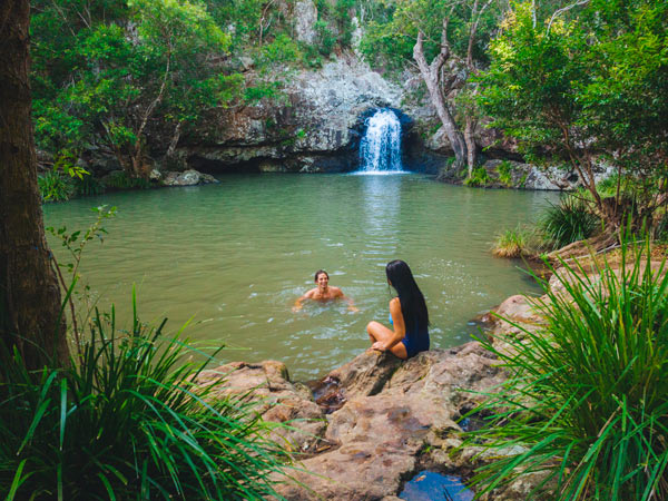
Take a dip at Kondalilla Falls on your hike. (Image: Tourism and Events Queensland)
Terrain: Stairs
Distance: 4.7 kilometres
What to bring: Water, sun protection, camera, swimmers
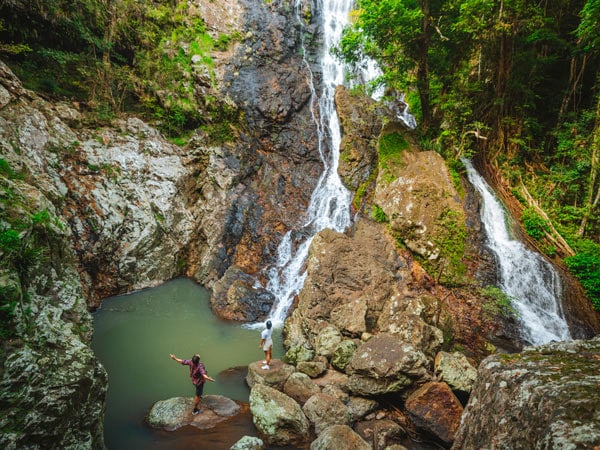
Bring your swimmers with you. (Image: Tourism and Events Queensland)
The Araucaria track is a delightful trail that meanders through open eucalypt forest, winding along the forested shores of picturesque Enoggera Reservoir, before looping back around one of the reservoir’s peninsulas.
Head out early because the trail gets quite busy later in the day, and keep an eye out for brown snakes, and dress accordingly – long pants, good shoes, etc.
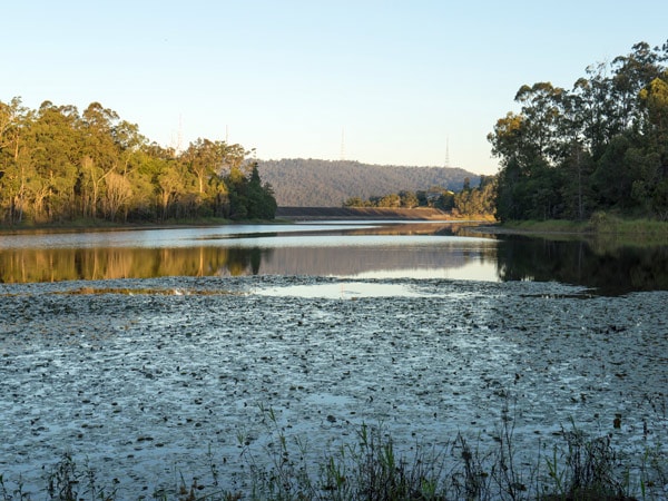
The Araucaria track is in a peaceful environment. (Image: Matthew Taylor/Tourism and Events Queensland)
Terrain: Hilly
Distance: 5 kilometres
What to bring: Swimmers, drinking water, sun protection, camera, binoculars
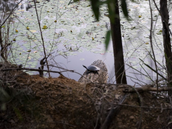
Spot turtles, among other wildlife. (Image: Matthew Taylor/Tourism and Events Queensland)
If you prefer your hikes a little more rugged, up the ante at Mount Ngungun.
Located in the iconic Glass House Mountains, this short trail begins in open forest and has some unbelievable views of Mount Tibrogargan, Mount Coonowrin and Mount Beerwah from the summit.
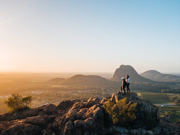
The views from the top of Mount Ngungun are well worth the tough hike. (Image: Tourism and Events Queensland)
You should be moderately fit to do this grade 4 hike, and it passes close to cliff edges so be careful.
Terrain: Steep
Distance: 2.8 kilometres
What to bring: Water, sun protection, supportive shoes

You should be moderately fit to do this hike. (Image: Tourism and Events Queensland)
Mount Maroon is a great warm-up climb if you’ve ever wanted to tackle the neighbouring Mount Barney.
It’s steep from the get-go and the hike will test those leg muscles on a number of occasions. But even though it’s an intense track, the views are well worth it. But only if you are an experienced hiker.
Offline navigation is strongly recommended for this one. And as always, let someone know where you are and when you plan to be finished the hike.
Terrain: Steep
Distance: 6 kilometres
What to bring: Lots of drinking water, sun protection, and a personal locator beacon (PLB) is recommended
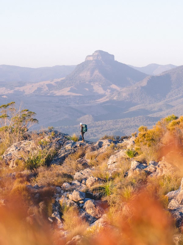
You’ll be feeling Mount Maroon in your legs. (Image: Tourism and Events Queensland)
The mother of all Brisbane hikes really takes it up a notch at Mount Barney – South East Queensland’s second-highest peak.
There are four walking tracks at Mount Barney, all classified as grade 4, but varying in length. Yellow Pinch, Lower Portals, Cronan Creek and Upper Portals.
Remember to stay safe at all times, only choose activities that suit the skills, experience and fitness of your group, never walk alone and make sure someone knows where you are, and what time you plan to finish hiking the trail.
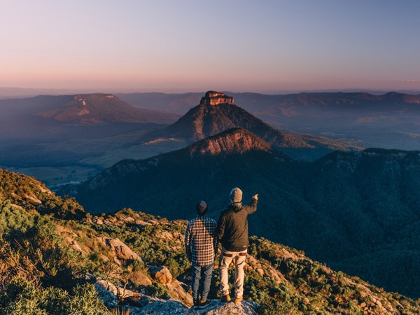
Mount Barney is not for the faint-hearted. (Image: Tourism and Events Queensland)
Terrain: Rugged
Distance: 2 kilometres return (Yellow Pinch), 7.4 kilometres return (Lower Portals), 8 kilometres return (Upper Portals) and 12 kilometres return (Cronan Creek Falls)
What to bring: Lots of water, chemical tablets to treat water, a raincoat, a PLB is recommended, bushwalking equipment and all your sun protection goodies
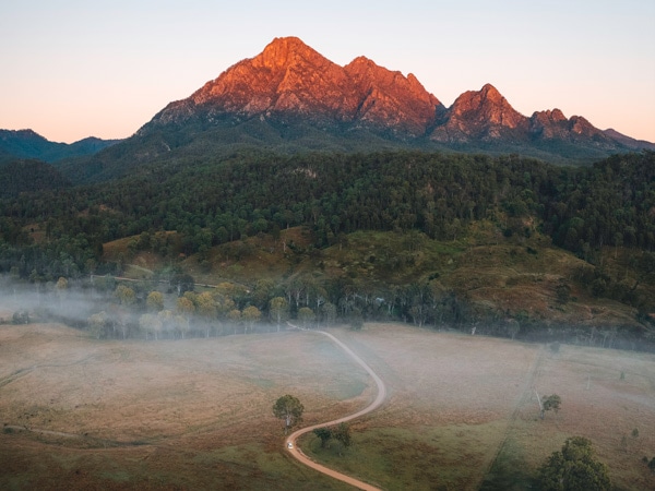
Mount Barney is the mother of all hikes. (Image: Tourism and Events Queensland)
Great article and very informative.
Thank you.